GovSense and Esri: New Solutions for GIS Teams [Infographic]
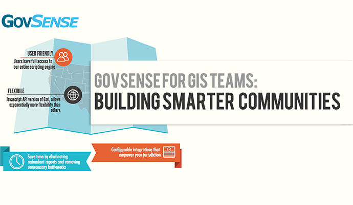
GovSense’s seamless Esri integration empowers local government to use geo-spatial data to make smarter decisions and build smarter communities. This infographic highlights key benefits than an advanced Geospatial Information System (GIS) can offer when it comes to mapping and other non-traditional purposes.
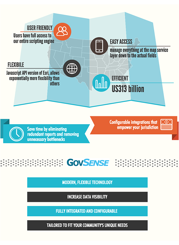
Benefits of investing in a next generation GIS solution include: Increased data visibility; Save time by eliminating redundant reports and removing unnecessary bottlenecks; Manage everything down to the actual fields at the map layer and more.
Click below to learn more about the capabilities of our mapping technology.
Did you know GovSense’s GIS solution brings geospatial data to the general ledger?
GovSense is the first complete cloud solution purpose-built for local governments, empowering over 60 communities and supporting more than 2 million citizens. Govsense built on Oracle NetSuite—the #1 true cloud ERP platform with over 50,000 customers worldwide— GovSense delivers a modern, unified system that streamlines operations, enhances transparency, and drives efficiency. GovSense’s team has been implementing cloud solutions since 2005, bringing over two decades of expertise in delivering scalable and secure technology for local agencies. As a five-time GovTech 100 recipient, we are recognized as an industry leader in transforming government technology. GovSense is one modern platform that has everything you need for your local government, ensuring your community is equipped with the tools to thrive in the digital age.