Local Government Information Model Provides Solutions for Zoning Administrators
Amongst the common duties that Zoning Administrators encounter daily, issuing permits, assisting applicants and dealing with administrative functions seem to be the most frequent ones.
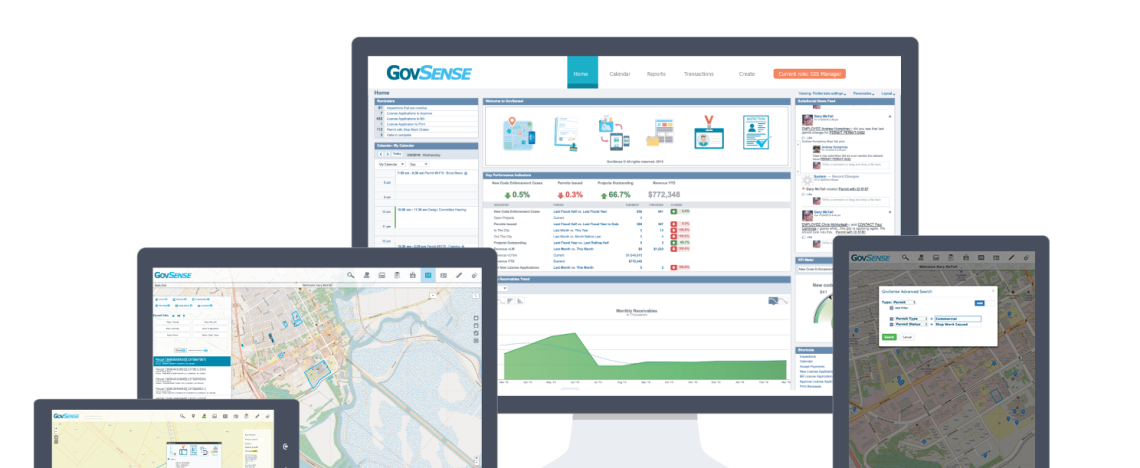
To help with these tasks, Esri, the internationally recognized Geographic Information System (GIS) solutions company has created the ArcGIS Platform.
What is ArcGIS?
ArcGIS for Local Government is an online cloud-based mapping platform designed to be native to every single aspect of our customer’s experience, so spatial data is deeply embedded into each possible transaction in GovSense.
Some advantages of ArcGIS include:
- Essential foundation layers and operational information that support a range of key maps and apps within local government
- The cartographic design elements necessary to produce rich, multiscale basemaps and operational layers
- Support of specific business needs by simply selecting and implementing specific themes
- A unified user experience that’s available when someone needs to use it
- 360-degree view of a person, parcel or transaction thanks to spatial data
Esri and GovSense
The bi-directional integration with Esri is at the core of GovSense and is fundamental to the entire Enterprise Resource Planning (ERP) solution. GovSense is able to take the spatial data of your jurisdiction and leverage it toward non-traditional purposes such as planning and budgeting or economic development initiatives. Our GIS integration is fully configurable from start to finish, which allows users to restrict view access by role and define what features communicate. This integration also gives the possibility to manage data at the service layer, down to the actual fields.
With a simple click, Zoning Administrators are able to create permits, inspections, code enforcement cases and projects, making every-day tasks easier and helping increase efficiency.
To learn more about ArcGIS and how GovSense and Esri can help Zoning Administrators, contact us!
GovSense is the first complete cloud solution purpose-built for local governments, empowering over 60 communities and supporting more than 2 million citizens. Govsense built on Oracle NetSuite—the #1 true cloud ERP platform with over 50,000 customers worldwide— GovSense delivers a modern, unified system that streamlines operations, enhances transparency, and drives efficiency. GovSense’s team has been implementing cloud solutions since 2005, bringing over two decades of expertise in delivering scalable and secure technology for local agencies. As a five-time GovTech 100 recipient, we are recognized as an industry leader in transforming government technology. GovSense is one modern platform that has everything you need for your local government, ensuring your community is equipped with the tools to thrive in the digital age.