GIS Foundation for Non-Traditional Purposes

In a world where everything is smart, government budgeting doesn’t have to be the exception.
As jurisdictions strive to find new ways to better serve their constituents and keep building smarter communities, new technologies are also developed in order to facilitate processes for both local government and their constituents. Geographic Information Systems (GIS) is one of the most recent technologies, being adopted by jurisdictions for both traditional and even non-traditional purposes.
When we think of local government and financial activities, we usually think of excessive amounts of paperwork, time allocation and inefficient processes, all which can lead to mistakes and unnecessary expenses. Thanks to non-traditional usage of GIS data, budgeting, planning and forecasting documents can be delivered in a timely manner, increasing accuracy and promoting economic development. What’s stopping other entities from taking advantage of this?
Non-Traditional Uses of GIS Data
1. Budgeting
A major part of government budgeting is based on land management, which encompasses activities such as infrastructure maintenance, licensing and permitting. By utilizing GIS for budgeting activities jurisdictions are able to take into consideration changes and maintenance of current infrastructure, building plans and examine real-time data that allows them to detect errors in a timely manner, making better decisions and better use of their resources.
For example, a city could allocate the budget for its Historic District by running a report to find out how much revenue was generated from tourism in that area over the past year. This is just one of many cases where GIS data could be used to better inform budget managers, resulting in more accurate financial forecasts.
2. Planning and Forecasting
Integrating spatial pattern data through GIS can positively impact profit estimates and analytics as the tools allow for increased collaboration, data sharing and community feedback. Data presented on a map is more easily communicated and provides greater context and insight than isolated data sets. By adopting innovative GIS, local government is able to provide transparency while at the same time relying on more accurate data that allows for jurisdictions to better plan and predict.
3. Economic Development
In addition to budgeting, planning and forecasting, organizations are taking advantage of GIS to create strong community identities that encourage people to come visit and live in their areas. Because GIS data can be leveraged to foster job growth and investment, these communities keep growing stronger and more attractive to people and businesses.
Click here to learn how the City of Alpharetta, GA is using GovSense to manage their Economic Development initiatives!
4. Foster Constituent Engagement
By implementing new tools that improve accuracy in budgeting, planning and forecasting, jurisdictions are able to get a 360-degree view of their community, leading to strengthened relationships with constituents and economic growth.
GIS managers dedicate time and effort to maintaining highly detailed databases that tie various information to a specific location on the map. Shouldn’t communicating this data effectively be one of the biggest ways a jurisdiction can serve its employees and constituents? We think so.
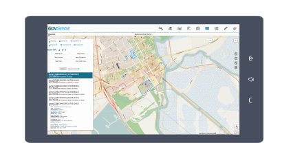
Through our GIS Foundation, GovSense is able to take spatial data from your jurisdiction and leverage it toward non-traditional purposes such as planning, budgeting, economic development initiatives and more.
Click here to learn more about GIS technology and reasons to get on the map!
GovSense is the first complete cloud solution purpose-built for local governments, empowering over 60 communities and supporting more than 2 million citizens. Govsense built on Oracle NetSuite—the #1 true cloud ERP platform with over 50,000 customers worldwide— GovSense delivers a modern, unified system that streamlines operations, enhances transparency, and drives efficiency. GovSense’s team has been implementing cloud solutions since 2005, bringing over two decades of expertise in delivering scalable and secure technology for local agencies. As a five-time GovTech 100 recipient, we are recognized as an industry leader in transforming government technology. GovSense is one modern platform that has everything you need for your local government, ensuring your community is equipped with the tools to thrive in the digital age.